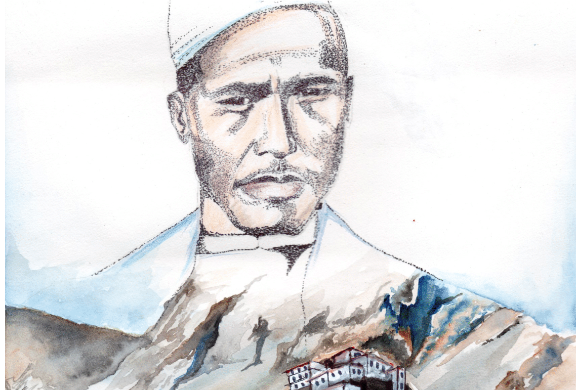
The more you learn about Pandit Nain Singh Rawat’s achievements in the area of expedition and exploration of Tibet and Brahmaputra in China, the more one gets inspired by the trails of the thousands of mile executed by this native explorer. Though many columns are there in all over the internet about the great achievements of Pandit Nain Singh Rawat, I decided to search for more about this enigmatic personality in books and literature available from later nineteenth century. From Shekhar Pathak, legend writer of Uttarakhand to the original paper of Montgomery, the search was done extensively to make the content as interactive and consolidated as possible.

Pandit Nain Singh should be is seen as the person with awakened consciousness, he wrote is all works in a journal, which is still kept in Survey of India, Dehradun, Uttarakhand. At present, there are much fewer people found with journaling habits. The Journaling in the nineteenth century was the most important part of anyone’s life. Form the profound Doctors and Engineers to the natives of Jauhar and Munshyari had a habit of recording, His/ Her daily deeds. This habit made the mark in the works of Archeological Survey of India, as most of the medieval temples were found from these manuscripts of the Journals. Much literature available in the bookshops tells the same story from the excerpts of the journal written by Pandit Nain Singh Rawat while traveling through Dehradun, Lahsa, Munsyari, Gartokh, China. The journal reveals that China was such a mysterious place for Englishmen that, they sent troops of Pundits to confirm that the Brahmaputra in India and Tsangpo is the same river. Pandit Nain Singh Rawat has a great influence on Uttarakhand Youth, his exploration methodology took the mountaineering course in the region to the boost. Most of the schooling and Undergraduates are now aware of the adventurous courses available in these colleges, NIM and Pandit Nain Singh Rawat institute of Mountaineering are among some of the best mountaineering schools in Uttarakhand. But, in the mid-nineteenth century, in midst of lack of basic needs, Pandit Nain Singh with his heroic efforts made it to the Tibet, and he became the first person from colonized India to create a Political map of Tibbet from Munsyari of India to the Gartokh of Tibbet.

As per the journal of Michael Ward “The Survey of India and The Pundits”, the way to Tibet was not easy in respect to Political and Physical Scenarios. Politically, India stood in the colonial territory due to defeat in the first war of Independence in 1857, Hence, Englishmen and British officers became crusaders for the neighboring states of Indian Colonial Territory. The Germans and Englishmen faced a tough defense in Nepal and Tibet during their prior attempt to invade China. No matter the British gave name “India” to Hindustan due to its quality of being mystical but, in real fact, China became the land of mystic for them. The ignorance was such that, the Britishers were not confirmed of Tsangpo being the Brahmaputra. Among the unsung heroes in Pandit Nain Singh Rawat’s troop was Kishen Singh Rawat, as an elder brother to Pundit Nain Singh, he was never jealous of the Nain Singh’s closeness to the Montgomery. In a fact the trek of Darjeeling – Lhasa – Chang Tang of Northern Tibet – Kun Lun Shan – Golmud – Tsaidam. – Tunhuang – Eastern Tibet – Tatsienlu Darjeeling would not have been possible without Kishan Singh. In a brutal condition, where being a spy had only death as punishment. The exploration troop took risk of calculating the actual map Tibbet and China. In Spring of 1878, Pundit Kishen Singh was dispatched to the plateau of Tibet from Mongolia. As there was only on route to enter into Indian Territory via. Kolkata, Pundit Kishen Singh has to lead the troop to create a trekking map along the riverbank of Tsangpo. The main problem for the expedition troop was in western Tibet with the frontier guards. Captain T. G. MONTGOMERIE in his paper “Report of Route Survey to Lahsa”, writes the details about the instruments provided by the Survey of India to the Surveyors for calculation of Topologies, GTS (Geographical Trigonometrical System) was used to calculate the heights and distances between successive points in, which usually contains the following instruments

- Sextants
- Pocket Compasses.
- Thermometers
- Chronometer and a Watch.
The Skills to use these instruments was trained to the expedition troops in Survey of India, Dehradun. Both Nain Singh and Kishen Singh was brilliant in using trigonometrical formulas of Heights and distance due to which Captain Montgomerie choose these two pundits of Johar to lead the expedition to Mongolia and China. In Mongolia, Kishen Singh was looted with all his possessions, and there was nothing left to eat except a bag of rice. Fortunately, they met a tibetian in Mongolia, which leads to his continuation in the expedition. In the journal of Pundit Nain Singh Rawat, he hailed the hospitality of Mongolians. As soon as the expedition reached Lhasa, the Chinese infantry troop detained these two pundits for a couple of months. Pundit Nain Singh and Kishen Singh Begged in the streets of Lhasa for food and escaped alongside Tsangpo. The only things left with them were their journals written in native language and Cartographing Instruments. After such horrific Encounters, The two pundits made to Indian Colonised territory on October 1882. Pandit Kishen Singh received hundred rupees per month for his service in GTS and died an unsung hero in Sitapur district of Uttar Pradesh (At present).
These struggle stories of explores of native Johar of Kumaon still inspires youth of Uttarakhand to explore the unexplored.
Discover more from The Doon Mozaic | द दून मोज़ेक
Subscribe to get the latest posts sent to your email.


